And yet, there are some parts of existing houses that, if you know where to look, can prove that they have stood here for a very long time, in some cases much longer than was first thought.
The discovery of several medieval buildings in the heart of the village was a welcome discovery and shows that ours was an important and wealthy village in the middle ages.
At the time of the Norman Conquest, Buriton village was part of the Manor or estate of Mapleduram, which was split into several later manors or estates, while the Norman church of St Mary’s, built between 1150-1200, was preceded by a small one listed in Domesday. The core of village settlement would have chiefly developed around the church and its estates.
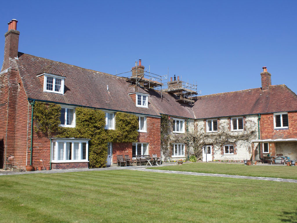
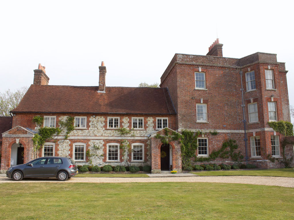
The oldest surviving domestic building in Buriton is generally considered to be The Old Rectory.
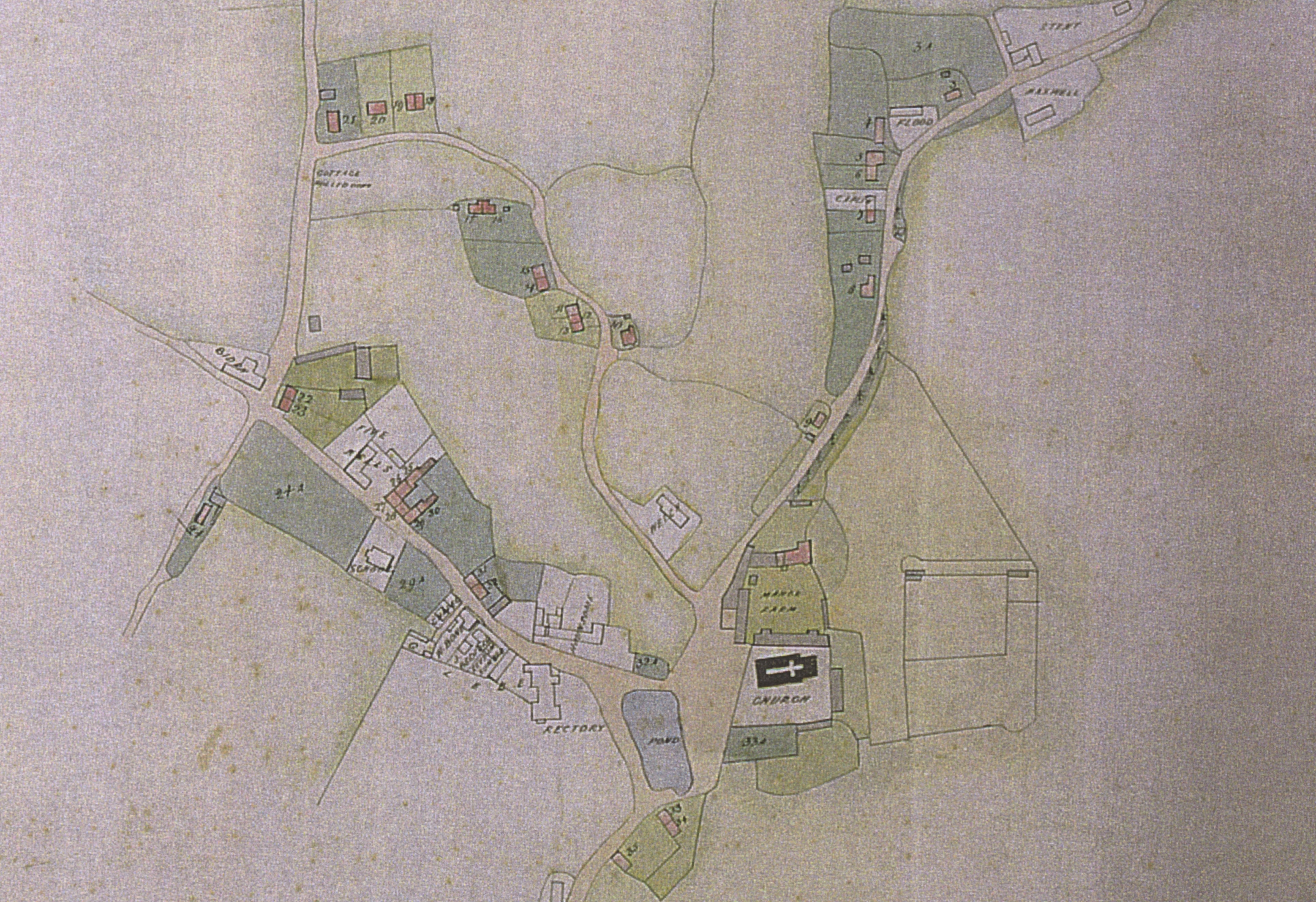
Stawell map of 1793
The following information is divided into three sections starting with “Findings from House Detectives” (a short introduction to building styles used to identify our old houses). Should you, however, like to go directly to the individual “House Detective Reports” or “Maps Through Time” (overlapping maps of Buriton from 1100 – 2020) a click on the boxes below will take you straight there.
Findings from House Detectives
In 2017 and 2018, we had the good fortune to welcome Dr Annabelle Hughes (Research Consultant Historical Buildings) and her colleague, Mrs Pam Bruce to Buriton in order to inspect a dozen of the oldest buildings in the parish. Sadly, Dr Hughes became ill and died in 2020 before the formidable team could return to inspect more buildings earmarked for their attention.
You will find reports and floor plans of 15 of our oldest houses below, but in order to show how our experts managed to date them, we would like to draw your attention first to three dwellings at the Weald and Downland Museum in Singleton. Pam Bruce chose samples of the three main box-framed construction methods (medieval, transitional and post modern) at the somewhat artificial but instructional settings of the museum to compare them with a number of houses in Buriton. In contrast, these are lived in homes which have been changed and adapted to modern life but have the benefit of standing in their original position.
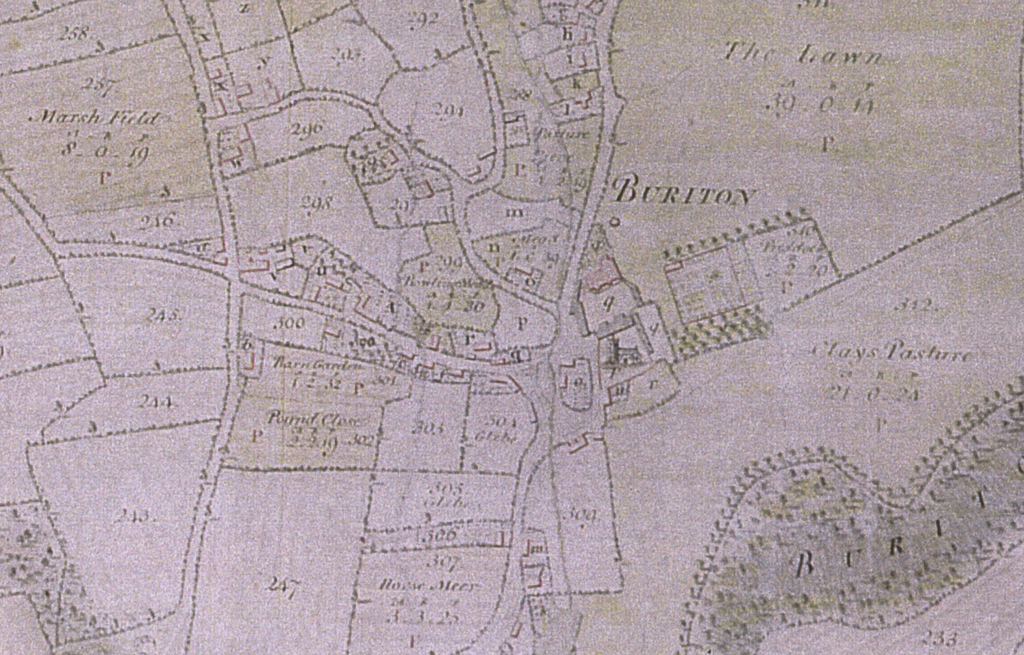
Estate map of about 1860
Medieval (before c1500)
North Cray, Bexley, Kent is a typical C15 Hall House
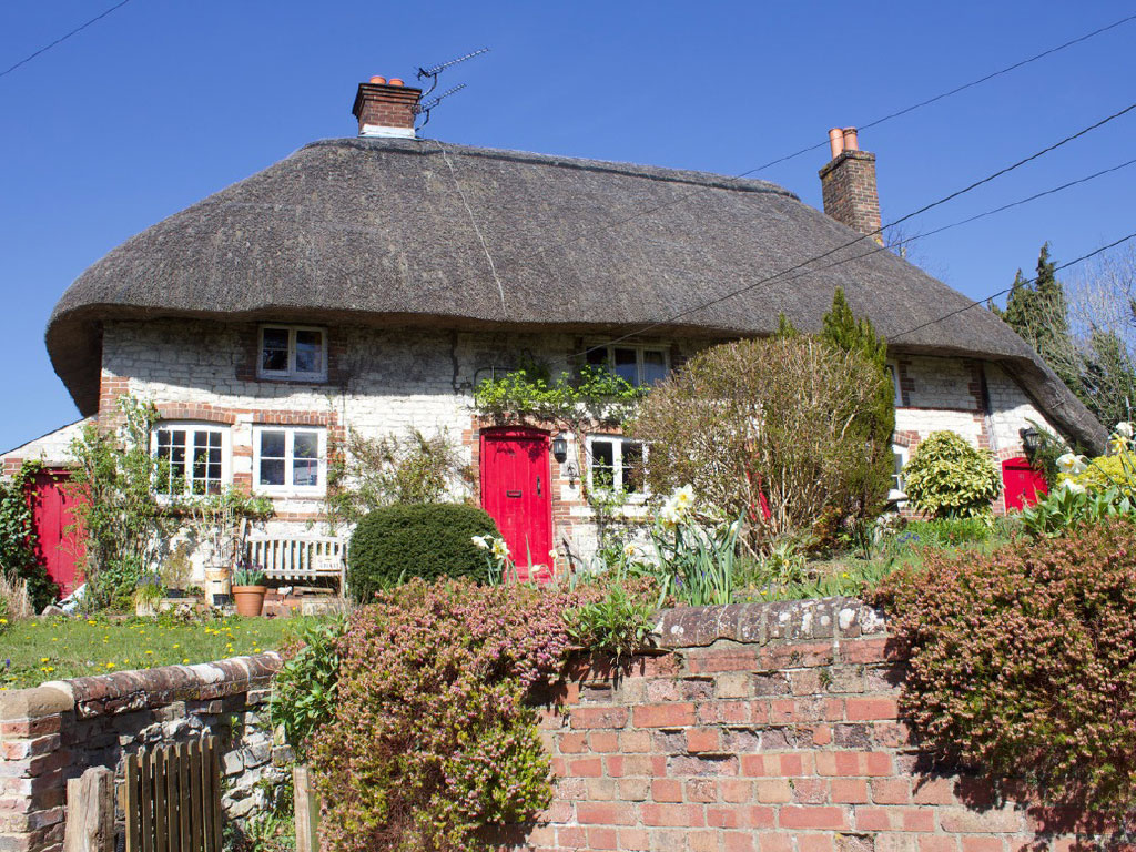
Broadly speaking, ‘medieval’ hall houses are those originally based upon an open (ground to rafters) hall and built before c1500. In this case the house has an end jetty. The roof is hipped at both ends with gablets, first floor rooms at both ends, a large window for the hall and an off-centred wide door.
The central hall has a cross passage with, at the low end: services – the buttery (dairy) and pantry (dry goods) and at the high end: parlour (best private room). You needed two sets of stairs to access 1st floor. There are big window lights at the high end of the hall. North Cray has a 2-bay ‘open’ hall. A bay is the space between two principal posts. The roof is constructed with a central purlin and crown posts. There is a central hearth on the floor with the smoke rising and filtering out through the roofing material.
Photographs of the interior (on the museum website) show the central hearth looking towards the high end with windows lighting this part of the hall. This is the Dias end, technically a raised platform where the master of the house would have sat. You may see evidence of a bench mounted on the wall or, more likely, a Dias beam (a heavily moulded beam) in this position.
The building itself provides many clues as to its age, but the act of dismantling and studying it as a set of bare timbers provides far more clues than one would ever find within a standing building that is still lived in and in its original position.
For more details, photos and drawings, please visit the Weald and Downland Living Museum website: https://www.wealddown.co.uk/buildings/medieval-house-north-cray/
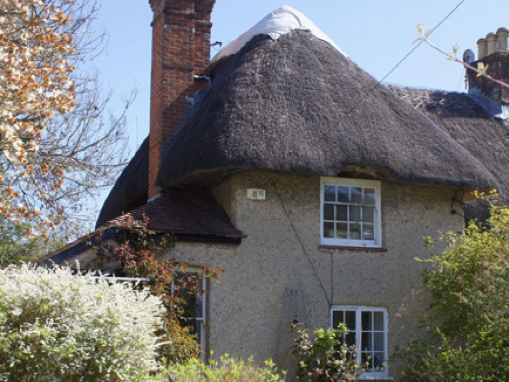
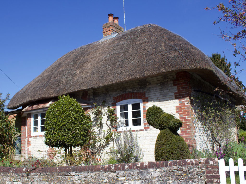
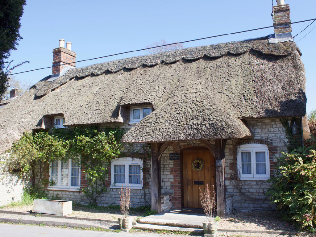
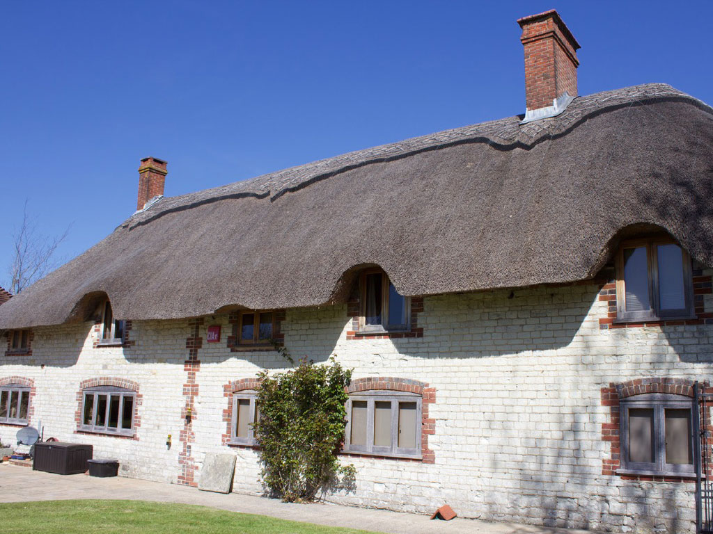
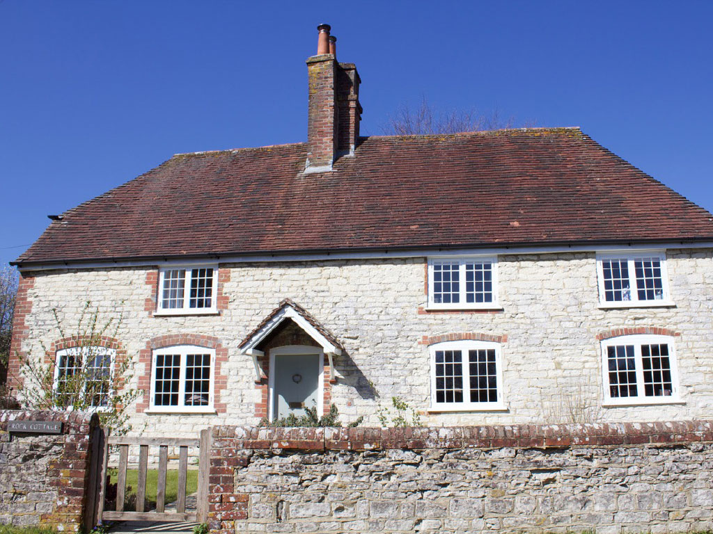
Examples of medieval, open hall buildings in Buriton are:
Transitional period (ca. 1540 – 1620)
Poplar Cottage, Washington, Nr Steyning is mid 17th century but it demonstrates the smoke bay approach
The open-hall central hearth was declining in popularity and a variety of approaches to smoke control were appearing.
In this building the entry is alongside the smoke-bay. Daub panels prevent smoke going to the sides, but the hearth is open to ground floor ceiling height (no bressumer beam). No smoke spills into the first floor, but the end bay roof is sooted. The gablet is letting the smoke out and thus drawing it up, reducing the amount of smoke getting into the hall.
The roof is gabled at one end and hipped at the other. Of interest are the gablet, high set and still open mullion windows. The back of the hearth is lined with stone – but this is not always the case.
The building has straight braces, but now only half the storey height and small panel framing. The roof consists of clasped side purlins.
The ground plan (see museum website) shows 3 bays, although one, the smoke ‘bay’ is very narrow. The hall is now floored with an axial beam and supporting joists. Its mullion windows have diamond mortices, pegged in the sides. Only one brace is visible from the outside, but every corner is braced although most are inside the wall rails so don’t show outside.
For more details, photos and drawings, please visit the Weald and Downland Living Museum website: https://www.wealddown.co.uk/buildings/poplar-cottage/
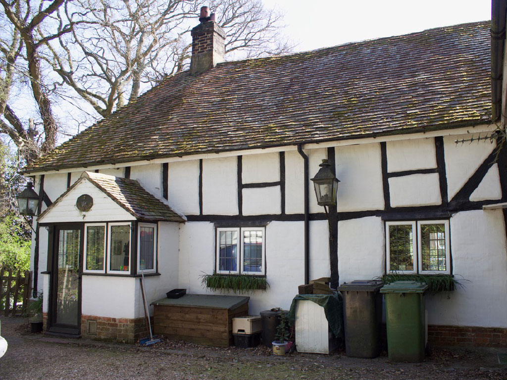
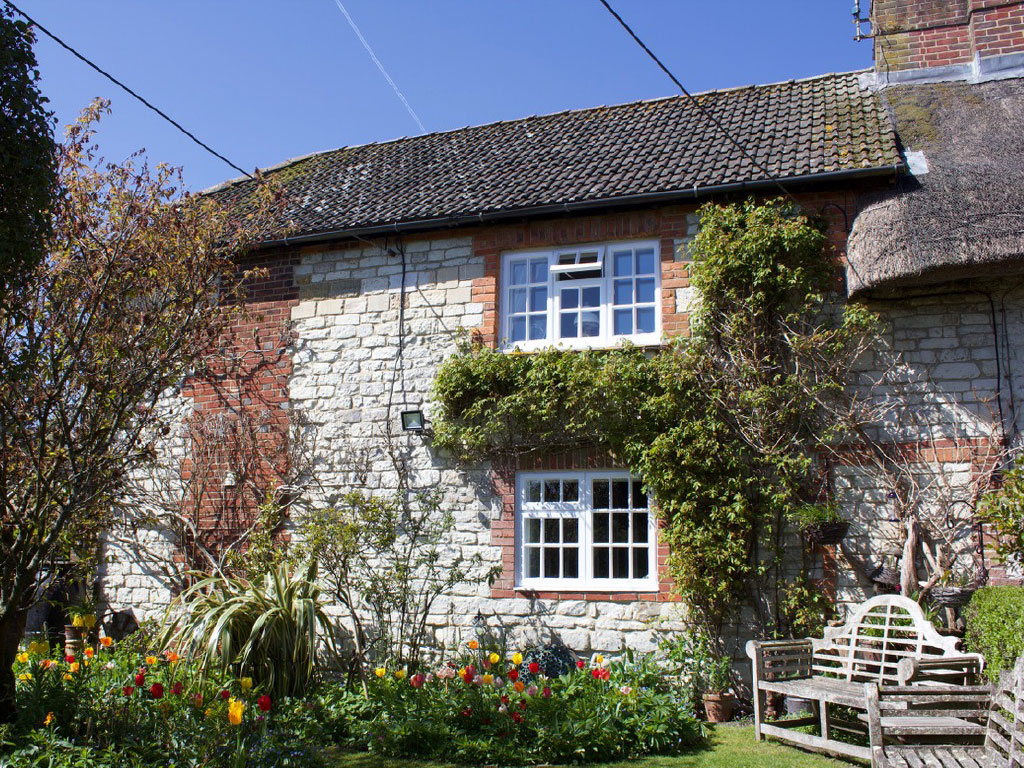
Examples of transitional, smoke bay houses in Buriton are:
Post modern
Pendean Farmhouse, Midhurst, was constructed with a central chimney
It is drendo dated 1609 and therefore predates the smoke bay Poplar cottage by about 30years. This demonstrates that the type of dwelling you built could depend as much on affordability as a desire to modernise.
The roof is hipped at both ends, it has straight down braces (3/4 height), mullion windows, a central large brick chimney stack, outshot at the rear.
The farmhouse has small panel framing, timber framed ground floor but is infilled with brick rather than wattle and daub.
The entry doorway into a lobby leads to either the heated hall or kitchen. There is also a hearth for the central room upstairs.
Of interest is how the chimney sits within a narrow bay. This was a common retrofit to a smoke bay house.
For more details, photos and drawings, please visit the Weald and Downland Living Museum website: https://www.wealddown.co.uk/buildings/pendean-farmhouse-midhurst/
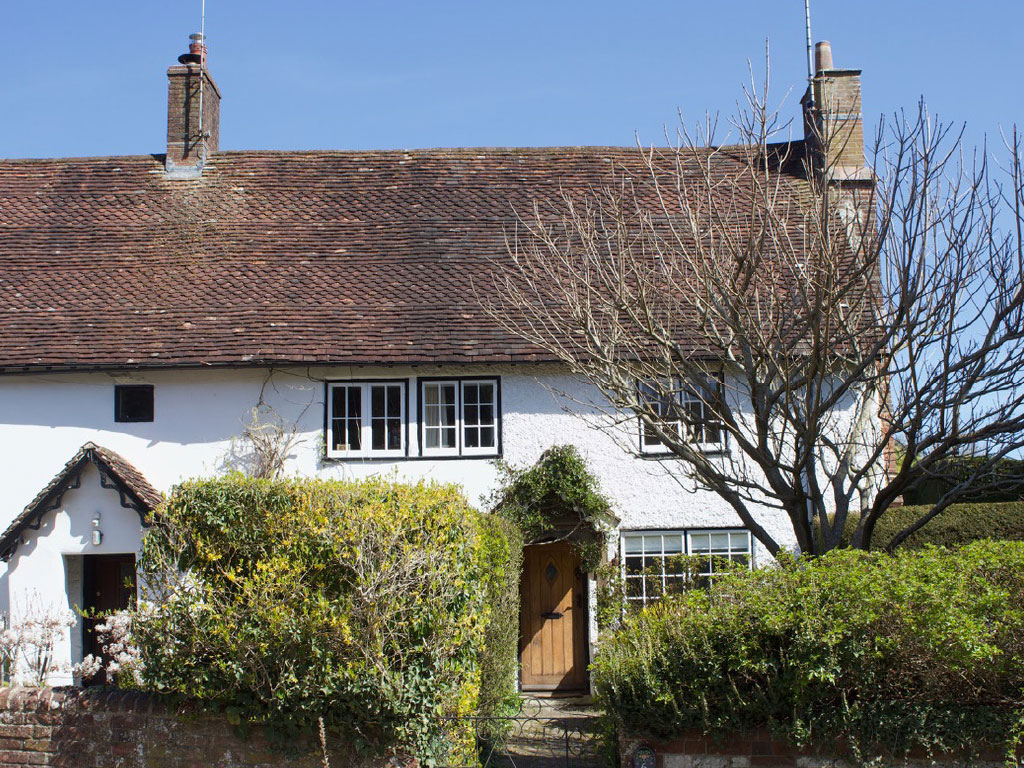
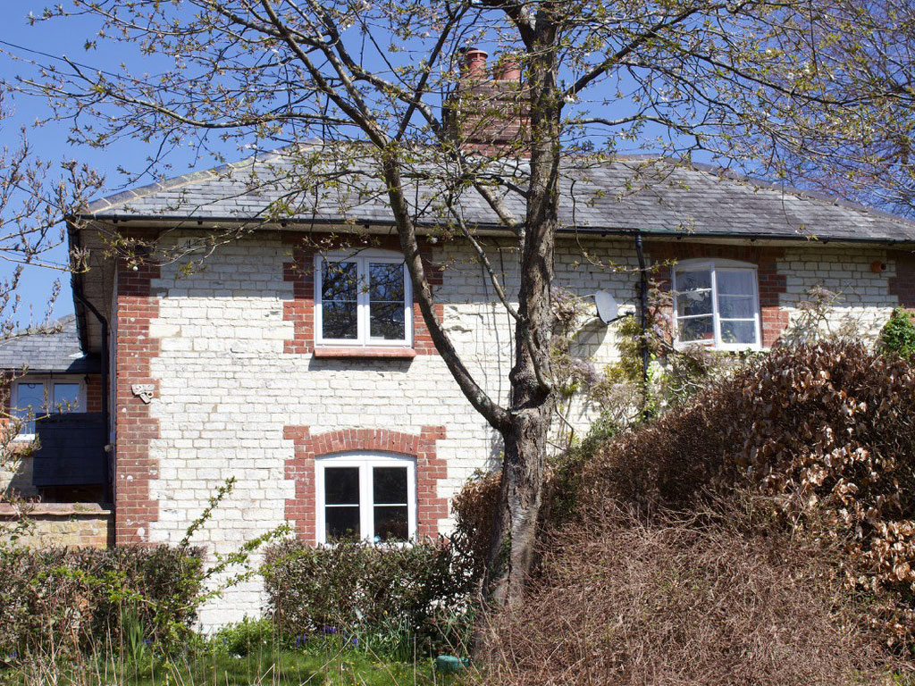
Examples of post-modern, chimney houses in Buriton are:

We also have details of solid wall builds in Buriton:
Heritage Bank information
The Heritage Bank has obtained copies of each of the catalogues from the sales of parts of the Buriton Manor Estate in 1927, 1936, and 1958. These include some photographs of houses and details of tenants.
We are also collecting copies of old photographs which show houses and parts of the parish in years gone by, and we hope to obtain some aerial photographs from a range of dates.
We are also collecting oral recollections about the parish – and about who lived where.
Can you help us?
If you have any comments or have information about the history of your house in the parish of Buriton (even if you no longer live here) or if you have old deeds, wills, maps or any other documents relating to them, and which you are prepared to share with us, please get in touch via the contact page button at the bottom of the page.
House Detective Reports
The following reports are all the intellectual property of Dr Hughes (unless stated otherwise), and are protected by copyright laws. Annabelle Hughes was a highly respected expert in houses of the Weald and Downlands with several publications to her name. She gave her vast knowledge and experience for free to assist us with this project.
We are also very grateful to her colleague Pam Bruce for providing the framework for the above text and to both of them for their time and dedicated and passionate teaching.
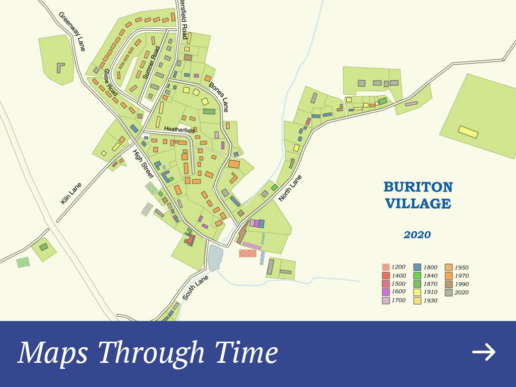
Maps Through Time
The aim of the project was to show the way in which the parish has changed and grown through the centuries.
We have tried to demonstrate how Buriton village has grown between ca.1100 and the present by digitally overlaying information from maps and other sources.
We started by gathering, studying and collating source material: maps, censuses, house deeds, wills, sales particulars, electoral rolls etc. An Excel worksheet, listing every house with information on the year/period it was built, owner/occupants and other details – was used to make sense of the collected data.
The first reliable map available was that of the estates of Lord Stawell in Buriton and Petersfield by the surveyor James Wyburd of 1793 (HRO: 56M75/E/P1 and 57M78/E/R1). For houses older than that source material was more difficult to find, so the help of a house detective, Dr Annabelle Hughes, was most welcome and confirmed that several of the parish’s houses are of medieval origin.
With the help of Cllr Robert Mocatta (expert on QGIS) and Andrew Harmel-Law (a village resident with awesome IT skills) we managed to produce the following maps using the (free form the internet) QGIS programme. It was then possible to create multiple layers on which to draw roads and buildings in different colours for each chosen date. Georeferencing allows layers to be switched on and off, if necessary, to show the village at any given period, adding or removing details as necessary.
Our project tries to demonstrate how the evolution of any village or town can be studied, with the possibility of limitless information that can be attributed to a dwelling through time.
The following maps show the development of Buriton village from about 1100 to the present day. Please use the arrows to travel forwards and backwards through time or click on any of the time periods below to see a snapshot of the village at that time.

More Maps
The Heritage Bank is assembling copies of old maps so that everyone can see when particular buildings first appeared and what nearby land was used for. Maps already available include:
- 1793 estate map for Lord Stawell’s estate
- 1840 tithe map
- a 19th century map of the Bonham-Carter estate
- 1870 Ordnance Survey 25” to the mile map (1st edition)
- 1897 Ordnance Survey 25” to the mile map (2nd edition)
- an early 20th century map of Buriton village (undated)
- 1932 Ordnance Survey 25” to the mile map
Do you know of any other old maps ? Please let us know.
If you would like copies of these maps, see our ‘Buriton in Maps’ publication.
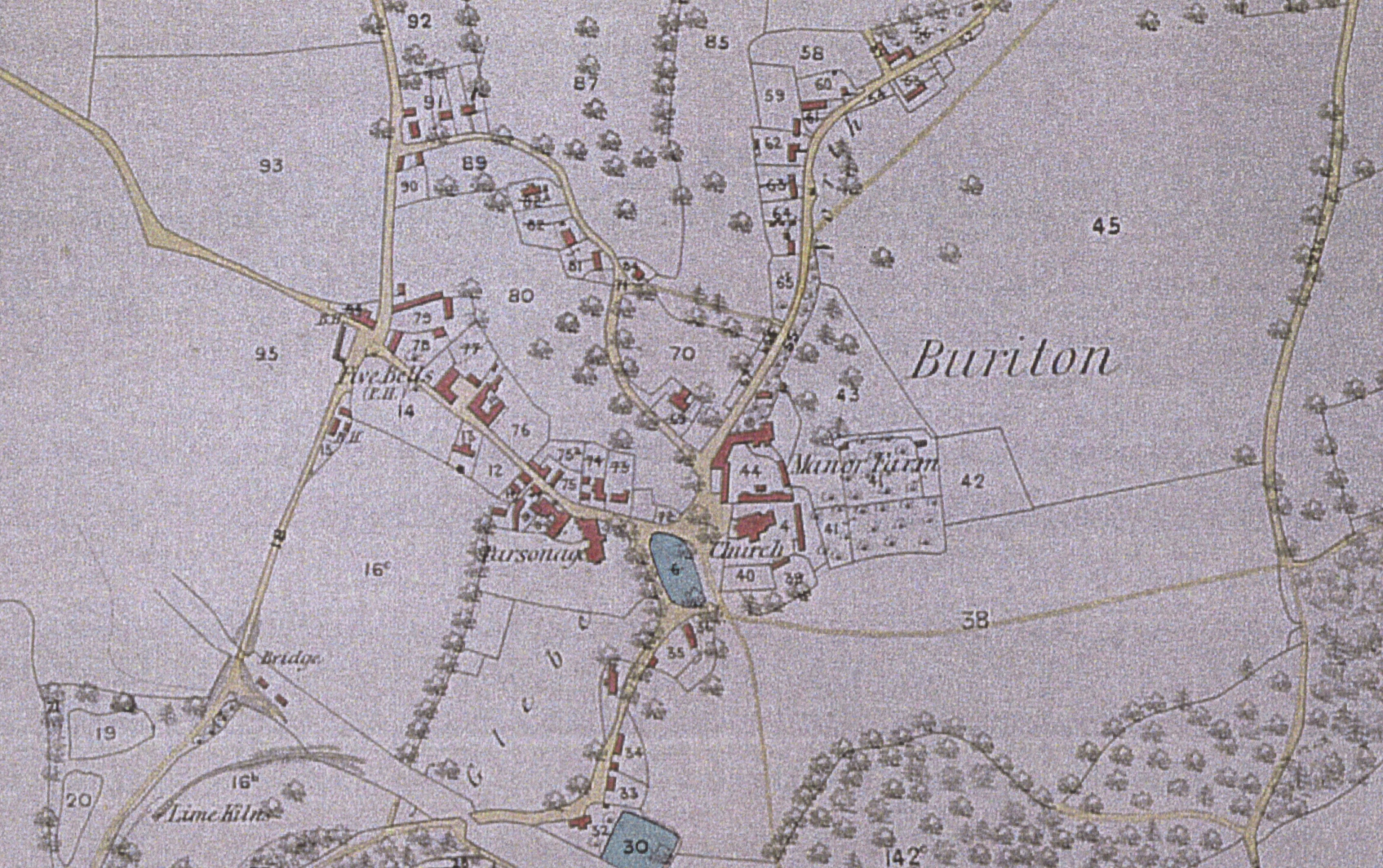
Buriton in about 1850
Thank you to the following people for bringing “Growth of a Parish” to life:
Cris Black (Leaping Cow), Andrew Harmel-Law, Daniela Jones, Doug Jones, Sarah Marks, Lynette Watson, Nick Pye (Agent8), all house owners who gave us permission to post their reports on our website and Buriton Village Association.